CRISSEY FIELD STATE PARK

CRISSEY FIELD STATE PARK Crissey Field State park offers a sandy ocean beach for a peaceful stroll, a run with your dog, surfing and fishing. The picturesque Winchuck River can be accessed via the nature walking trails or the beach access. Native plants, wetlands,...

LOEB PARK

LOEB PARK Just a fifteen minute drive north east of Brookings lies one of the most beautiful areas in Oregon. It runs beside the Chetco River which rises inland and flows fifty leisurely miles down to the Pacific and the Port of Brookings Harbor. The gateway to this...

LONE RANCH BEACH

LONE RANCH BEACH Lone Ranch Beach is located 4 and a half miles north of Brookings. Once there, you will take in the collection of sea stack jutting from an ocean whose color changes from hour to hour as the sun, clouds and lighting varies. This part of the Oregon...

AZALEA PARK

AZALEA PARK Azalea park is a thirty-three acre park containing ancient native azaleas that were growing here when Lewis and Clark wintered on the Oregon Coast in 1805-06. Azalea Park offers active and passive recreational activities. It lies amongst several...

THE PORT OF BROOKINGS HARBOR

THE PORT OF BROOKINGS HARBOR The Port of Brookings Harbor is not just the busiest recreational maritime port on the Oregon coast, generating an average 100 boat departures a day year round. It is more than one of the most active chinook salmon harbors facing on the...

SALMON RUN GOLF COURSE

SALMON RUN GOLF COURSE Salmon Run Golf Course is a golf retreat unlike any other in the Pacific Northwest. Located in beautiful Brookings Harbor and set in a maturely wooded area, this course is accented by panoramic views of the surrounding countryside. Golf Digest...

HARRIS BEACH STATE PARK

HARRIS BEACH STATE PARK Your first impression of Harris Beach State Park will be a locale with marvelously varied terrain. You can walk the beach and run from the waves. Climb to the top of a large rock for a great view, while resisting the temptation to add your...

CHETCO POINT PARK

CHETCO POINT PARK Do you like unexpected treasures? Would you like them to be stunning? Brookings offers the spectacular gem you will always remember. Chetco Point Park is one of the most beautiful locations in Oregon, on the west coast . . . . in the world! Chetco...

CHETCO RIVER

CHETCO RIVER Adventures include fishing for Salmon and steelhead; camping, exploring, picnicking, hiking and swimming along the crystal clear Chetco River and into the Kalmiopsis Wilderness. Here are a few of the great areas to explore in the unspoiled beauty of the...

SURROUNDING AREA

SURROUNDING AREA ROGUE RIVER One of only eight rivers in the U.S. originally designated by congress as a "National Wild and Scenic River", the Rogue River empties into the Pacific in Gold Beach, Oregon. Her headwaters are none other than those of Crater Lake, from...

MT. EMILY BOMB SITE

The Southern Oregon, Northern California coast strikes visitors as so beautiful and untouched, they sometimes conclude that the area has somehow escaped history. That conclusion is a real part of the appeal which draws visitors and new residents to the area. This locality, however, has played its part in the violent events of a larger world.

The Bombing

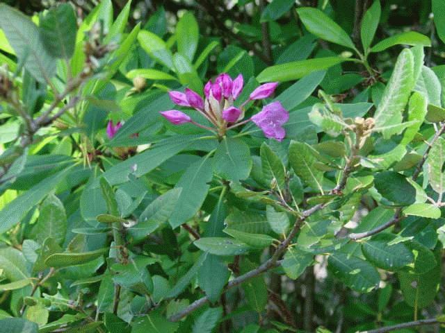
Sixteen miles east of Brookings, Oregon, is the site of the first bombing of the mainland United States by enemy aircraft. Just before dawn on September ninth, 1942, a Japanese submarine surfaced twenty-five miles off Cape Blanco near Port Orford, Oregon. The submarine contained a tiny, modified Zero fighter plane that could be launched by a catapult. Loaded with two 170 pound incendiary bombs, the plane headed south. The bombs were dropped on the slopes of Wheeler Ridge on the sides of Mt Emily with the hope of starting a forest fire that would weaken the war resolve of the United States. Due to wet conditions that fall, the small fire was easily controlled. Today that event and location are commemorated at the Mt. Emily Bombsite Trail, a two mile stretch with redwoods near the beginning and fire-dependent species such as knobcone pine and manzanita along the whole walk.

Let’s Take A Hike

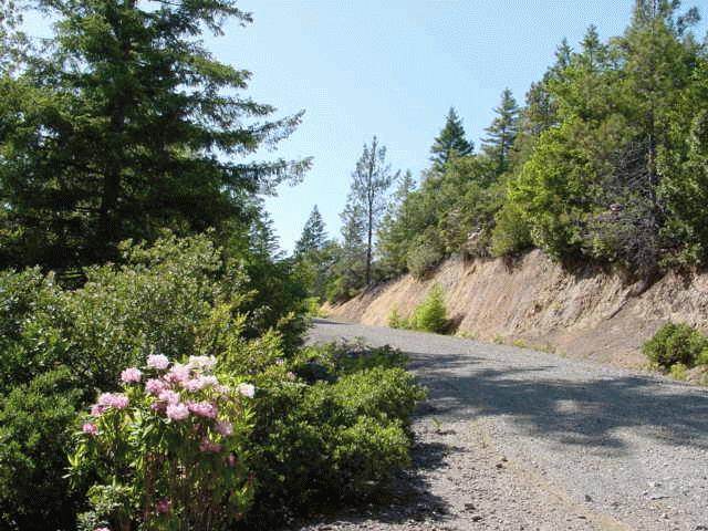
To reach the trail drive up the Chetco South Bank Road which begins at the south end of the Chetco River Bridge for about eight miles to Mt. Emily Road.

At the fork, take Wheeler Creek Road. There will be a sign that says “Bombsite”.

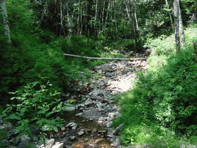
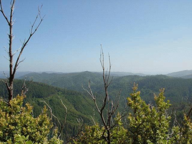
Drive around to the east side of Mt. Emily and up to the trailhead. The trail will take you up and up through dense forest past benches provided if you want to rest. The hiking trail continues one half mile to the top and affords a fine view of mountains and coastline.

A spot approximately a mile and a quarter along the trail marks the bombed site. This trail is a portion of a self-guided forest ecology walking and driving tour.

Get The Rest Of The Story

Before or after you visit the bombsite, visit the Chetco Community Library on Alder Street two blocks west of Chetco Avenue on the south end of Brookings. There you will get the rest of the Japanese bombing story. The library contains a four hundred year old Samurai sword which belonged to the family of the officer who piloted the Japanese plane. That very sword was carried by the pilot during the 1942 bombing run and throughout the war. In 1962 it was given to the city by the pilot as a pledge of peace and friendship. Since 1995 the sword has rested in a specially built display case at the library.

MCVAY ROCK RECREATION SITE
SURROUNDING AREA